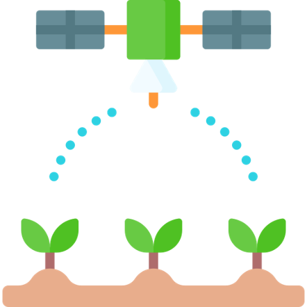

The use of satellite data is becoming increasingly widespread in agriculture, as they allow remote sensing of soil, crop and weather conditions. This allows farmers to manage their land more efficiently and increase yields while minimising costs and environmental impacts.
The data provided by the satellites include, for example, soil moisture, vegetation development and condition, nutrients in the soil, temperature, rainfall and solar radiation. These data can be combined with other data sources such as soil sampling, weather stations or drones to help farmers develop more effective crop protection strategies, forecast crop yields and weather impacts, and optimise irrigation and nutrient replenishment.

Satellite data can also be used for land use planning and monitoring environmental impacts. These data can help farmers plan cropland, expand cropland or protect soil, and help monitor and manage climate change impacts.
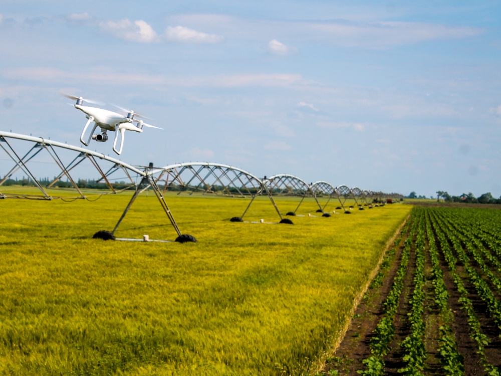
The use of surveillance drones is becoming increasingly common in agriculture, as they enable fast and efficient monitoring of crop areas, crop protection, and activities related to ripening and harvesting. The aerial photographs and images taken by drones allow farmers to quickly and accurately assess the condition of crops, possible disease and damage, and the effects of weather on crop areas.


The data provided by drones include soil moisture, vegetation condition, nutrients in the soil and weather conditions such as temperature, humidity, wind and rainfall. The data can help farmers to manage their crops more effectively, for example by detecting diseases and pests early and taking immediate action to prevent or treat them.
The drones also enable the monitoring of yield and ripening, helping farmers to make timely and efficient decisions about when and how to harvest. In addition, the use of drones can also help farmers optimise irrigation and fertilisation, as the data can be used to adjust irrigation and fertilisation systems more accurately to the needs of the crop.